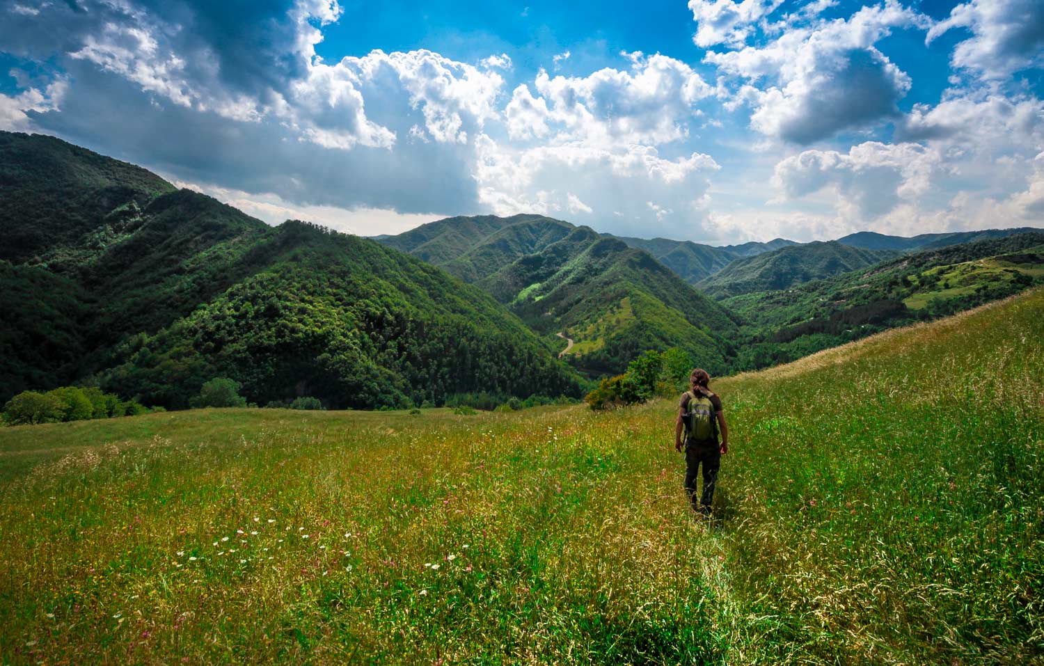
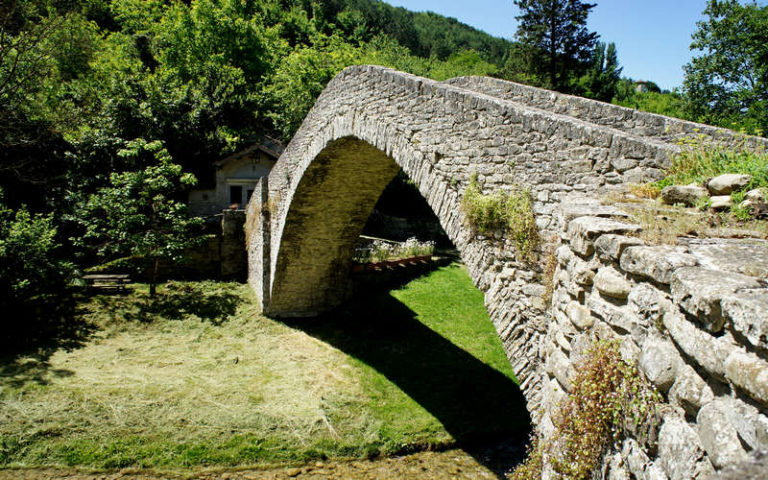
 Trails and pilgrimage routes
From Piacenza to Rimini, Emilia-Romagna offers almost 700 km of traced trails that fully characterise the hiking opportunities in the region.
A huge historical and natural heritage that you can get to know thanks to the continuous activity of the Italian Alpine Club (CAI in Italian) and to some high-end technological applications, such as the useful Web App of the Emilia-Romagna hiking network.
But which itinerary should you choose, among the many possible ones? Which is the one that best suits your fitness level and responds to your desire of discovery and beauty?
To help you choose among these many options, we chose 5 trails in Emilia-Romagna that you absolutely cannot miss.
We are talking about 5 CAI trails with different levels of difficulty, which will surely surprise you and lead you to the discovery of that natural border represented by the Emilia-Romagna Apennines.
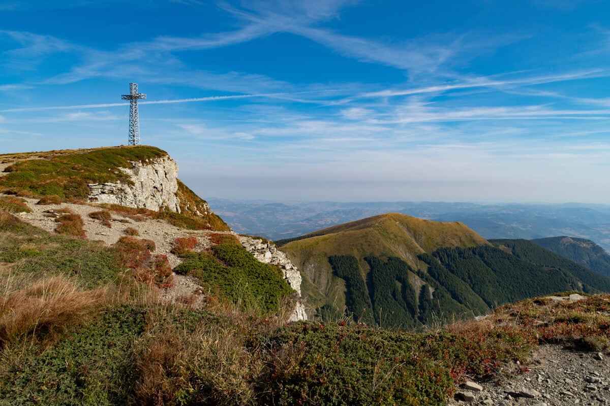
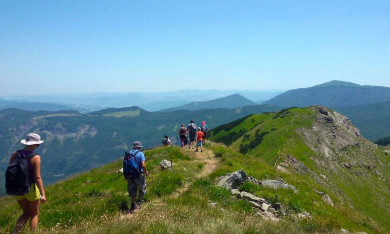
The Climb to Monte Cusna
With its 2121 meters of height, Monte Cusna is the second-highest peak of the northern Apennines and of all the Emilia-Romagna region.
Located further north than the main ridge of the Tuscan-Emilian Apennines, the climb to its peak is very suggestive, thanks to a natural and pure natural area around it (except for the ski area of Febbio), from which you can enjoy a view from the Tyrrhenian Sea to the Po Valley.
A truly exceptional climate zone, as the ridge of the Emilia-Romagna Apennines marks the border between the European and the Mediterranean climate and landscapes.
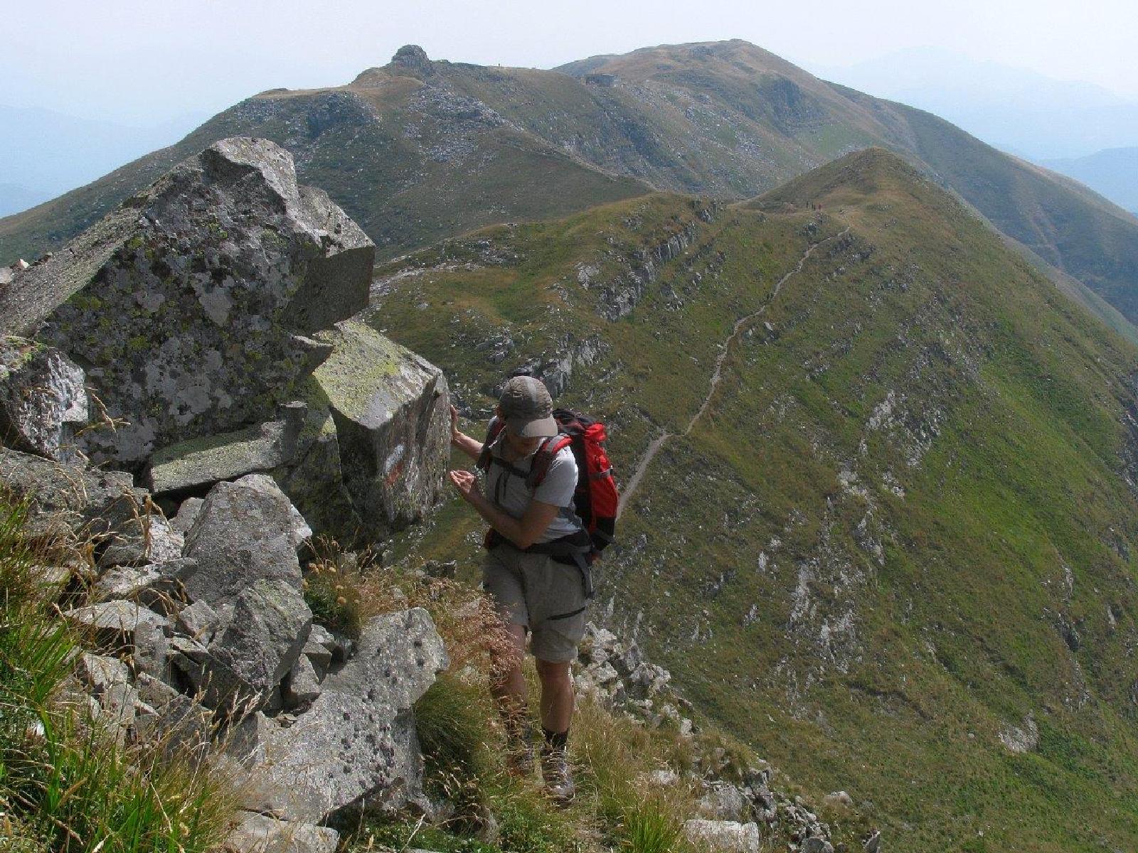
To climb Monte Cusna, you can start directly from Rifugio Battisti (mt 1761) taking the CAI 615 trail until you come across trail 607.
Going up trail 607 along the crest of the mount, you get up to the top of it, where the Croce del Gigante stands out (mt 2120).
The last part of the trail develops on rocks and is also quite exposed, and is therefore recommended for expert hikers. But you can also consider a simpler trail. Thanks to trail 607A you can get to trail 617 and 619: both lead to the top in an easier way.
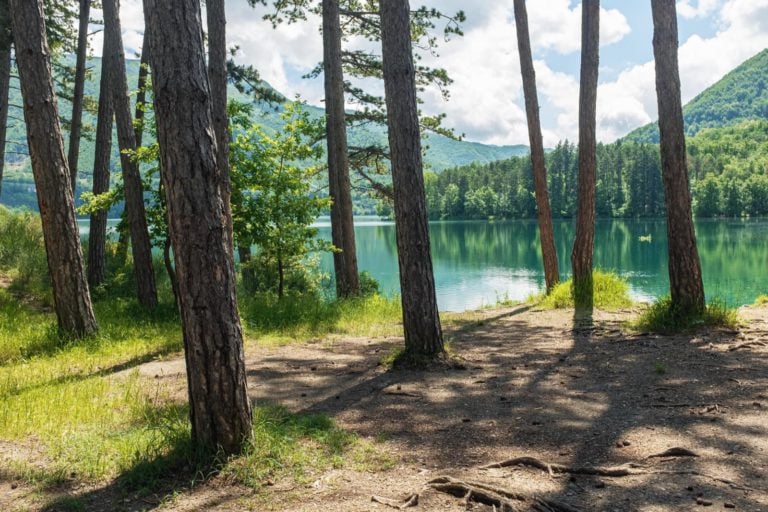
Lakes and boglands of the Upper Val Parma
Four lakes and some boglands offer a glimpse of the evocative landscape of glacial origin of the upper Val Parma, a territory which still preserves a unique environment and variety.
The CAI trails 719/715/711 will make you enjoy a loop hike around Monte Scala, walking at a height of 1,500 meters.
You can start directly from the parking of Rifugio Lagoni (mt 1341), walking for a few hundred meters along the forest road, until you come across the sign of the CAI trail 719 (mt 1332).
From here, you will climb Monte Scala through a landscape characterised by fields of blueberries, boglands (the only ones that you can find at this latitude) and ancient and ploughed pasture grounds.
These hills were surely a destination for shepherds from Parma and Garfagnana, of which you can still observe summer accommodations and ploughed grounds.
For more demanding walkers, we recommend the suggestive alternative of Monte Matto (CAI trail 715A). With a couple of hours of walking, along a century-old mule track, you will get to the Pass of Badignana (mt 1680), and then, along Alta Via dei Parchi, the top of the mount.
This territory was once frequented by the shepherds from Treschietto, both to reach the green pastures of Val Parma and to trade and smuggle between the two sides of the Apennines, mainly during the German occupation.
A natural, cultural and historical itinerary, on the traces of ancient glaciers and old paths, to the discovery of traditions and lost mule tracks.
Corno alle Scale Loop Trail
The Park of Corno alle Scale is the park located at the highest altitude in the province of Bologna, and is also home to one of the best-known ski areas of the Tuscan-Emilian Apennines.
Its gentle slopes on the border between Tuscany and Emilia-Romagna represent an ideal opportunity for all rookie skiers, as well as for winter snowshoe hikers looking for snowy landscapes without reaching prohibitive heights.
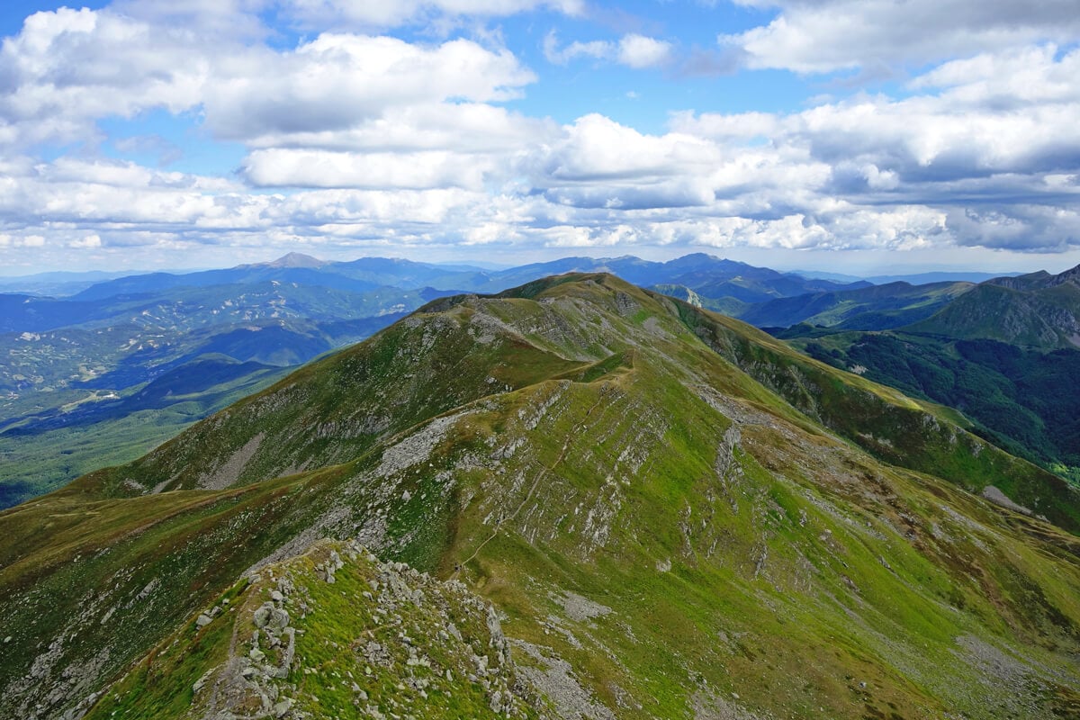
The Corno alle Scale loop trail is a famous itinerary that starts from the parking of the ski area and leads to the ridge of the Apennines along the CAI trail 329.
From here, expert hikers can decide to take a part of Alta Via dei Parchi towards Passo dello Strofinatoio (mt 1847).
Through this itinerary, with a few more hours of walking, you will get to the top of Corno alle Scale (mt 1944) and then go down along Trail 129 and Trail 335.
The Corno alle Scale loop trail is a one-day excursion classified as medium-easy, but it requires a good physical preparation.
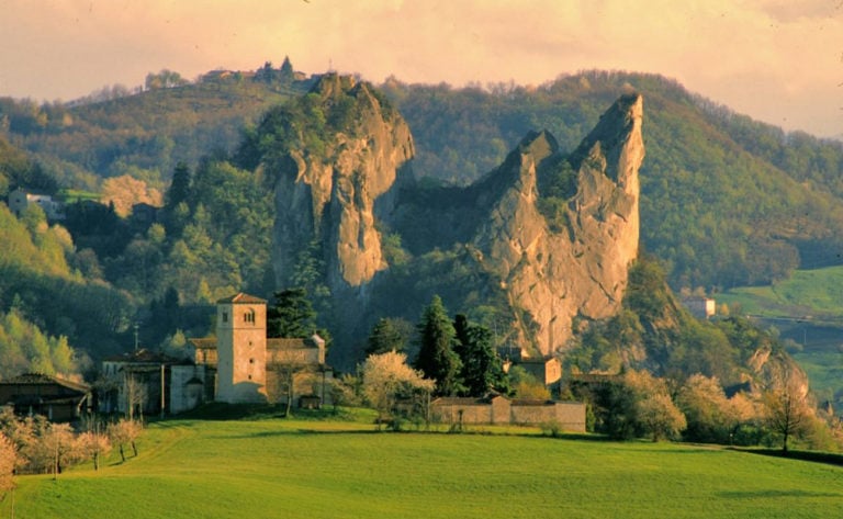
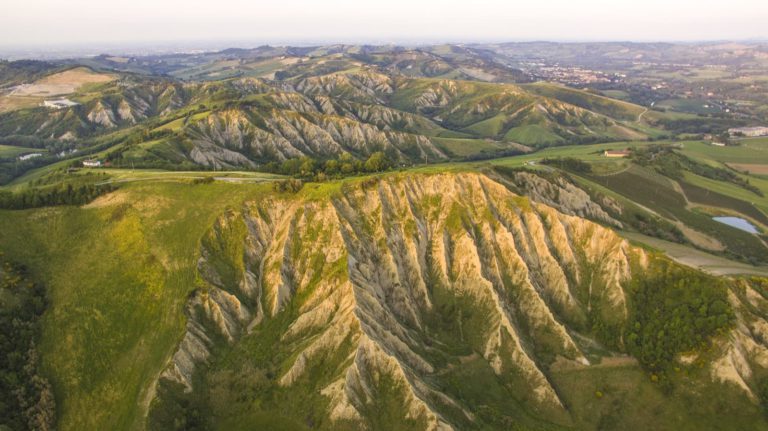
Monte Mauro Loop Trail
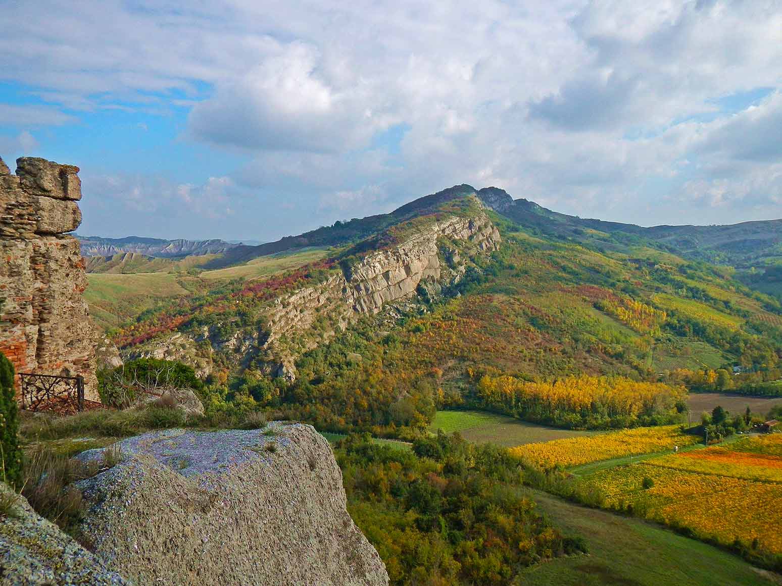
It is one of the most comprehensive and fascinating itineraries of the Vena del Gesso Romagnola Regional Park, with 11 km of length and a walking time of about 7 hours.
The trail develops along the chalky ridge between Monte della Volpe and Monte Mauro, along the CAI trail 511, and needs some attention, especially in case of rain.
A good alternative to the CAI trail is Cammino di Sant’Antonio, less demanding and well traced.
As for the way back, we recommend to go down along the trail 513 that will lead you to the starting point in about 2h 30 minutes.
Due to the unique configuration of the territory, we recommend to pay particular attention while you walk along the trail, as it features unmarked crevasses and caverns on its edge.
The trail is located in one of the most important karst territory of the area, famous for the presence of some of the region’s most significant and difficult caves.
The spring of the Arno River and the ancient Lake degli Idoli
The loop trail goes into one of Italy’s most charming natural corners, the Foreste Casentinesi National Park, taking you to the spring of the Arno river.
Starting from the upper area of the town of Castagno di Sant’Andrea, you will cross the wood along the trail of Alta Via dei Parchi, thus cutting through the many bends of the road to Fonte del Borbotto.
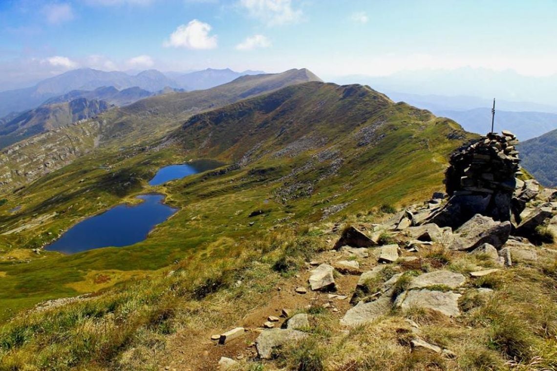
From the spring, you will keep going up through the boulder-sprinkled beechwood until the pond of Gorga Nera, and then continue beyond the watershed until a forest track leading to the spring of Capo d’Arno.
The track of the excursion, almost completely following Step 21 of Alta Via dei Parchi, continues through the southern slope of Monte Falterona, through woods and marshes up to Lago degli Idoli.
The latter is the most important archaeological site of the Casentino area (with a strong Etruscan influence), which has been brought back to its original condition, that is a body of water immersed in the forest.
The pastures of Montelleri bring you back to the ridge at the foot of the top of Monte Falterona, accessible thanks to a short detour.
The trail continues on the ridge, which is dotted with clearings and low bushes of mountain pine until the top pf Monte Falco (mt 1658), the maximum height of the Tuscan-Emilian Apennine and extraordinary terrace on the Casentino territory and Romagna.
From the top you will slowly go down and meet the antennas of a military installation and then the vast meadows of Burraia, from which you can take the way back to Castagno Sant’Andrea.
Author

Walter Manni
Explorer and Adventurer: loves sailing the oceans, climbing the highest mountains and surfing on the waves of the web
You may also like
5 Experiences to do in the Po Delta Park of Emilia-Romagna
by Elisa Mazzini /// February 18, 2019
Private: 5 itineraries to enjoy the nature in Emilia Romagna
by Arturo Castellini /// December 1, 2016
5 natural spots to discover in Emilia-Romagna
by Elisa Mazzini /// September 19, 2016

Interested in our newsletter?
Every first of the month, an email (in Italian) with selected contents and upcoming events.
Emilia Romagna Slow | 5 hiking trails to enjoy the Spring
by Walter Manni /// March 20, 2018
5 Experiences to do in the Po Delta Park of Emilia-Romagna
by Elisa Mazzini /// February 18, 2019
Private: 5 itineraries to enjoy the nature in Emilia Romagna
by Arturo Castellini /// December 1, 2016
5 natural spots to discover in Emilia-Romagna
by Elisa Mazzini /// September 19, 2016
Emilia Romagna Slow | 5 hiking trails to enjoy the Spring
by Walter Manni /// March 20, 2018
Keith Wakefield
Looks superb . Although I have books and maps of Marche ,Umbria and Tuscany , very difficult to find them of Bologna area in England .